
Route description
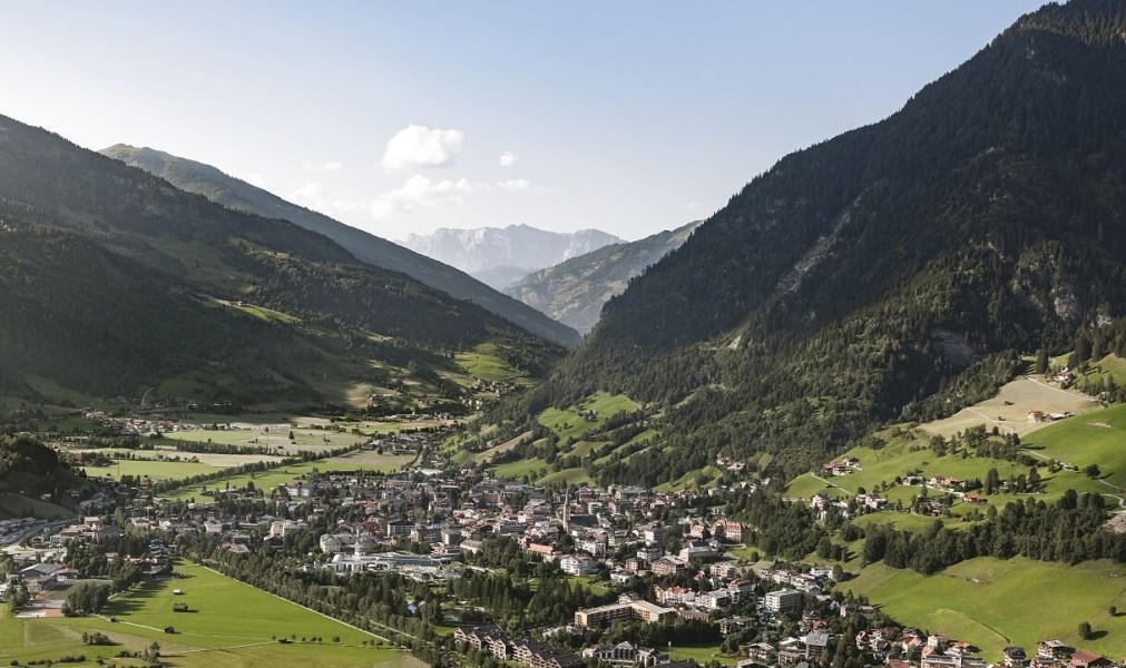
The Gasteiner Höhenweg is a popular hiking trail in the Salzburg Gastein Valley, connecting the spa towns of Bad Gastein and Bad Hofgastein. With a length of about 8 kilometers and an estimated walking time of 2.5 hours, the trail is particularly suitable for families and leisurely hikers.
Start Points and Return Routes
The Gasteiner Höhenweg can be hiked in both directions – from Bad Hofgastein to Bad Gastein or vice versa.
In Bad Hofgastein, the trail typically starts at Tauernplatz, near the Alpentherme, or directly at the parish church. From there, the well-marked path leads through the Marienwald forest to Café Gamskar.
Those starting in Bad Gastein can either begin from the train station or take the scenic route through the Kötschachtal valley, starting at the former Hoteldorf Grüner Baum, which is also easily accessible by bus.
For the return, public bus connections are available between the two towns. Alternatively, the trail can be hiked back.
The Höhenweg
The Gasteiner Höhenweg runs along the slopes of the Graukogel, significantly above the valley floor, and connects the towns of Bad Gastein and Bad Hofgastein at an altitude of about 1,000 meters. The trail is well-marked throughout and is generally easy to walk, with moderate inclines and some natural sections. The path is also suitable for strollers and wheelchairs, as it is mostly barrier-free.
The route takes you through a varied landscape of blooming alpine meadows, light mixed forests, and rocky passages. Along the way, you will pass several lovingly restored mills and traditional farmhouses.
The Gasteiner Höhenweg is usually closed from late November to early May. Be sure to check current trail conditions before setting out.
Where to eat
Along the trail, several inns and cafés invite hikers to take a break, including Café Gamskar and Café Sonnberg. These offer not only culinary refreshments but also stunning views of the Gastein Valley.
Interesting facts
- You're traveling a distance of 7 km on this easy trail. The hike is therefore not too long. The average length of all hikes in Salzburg is 15 km.
- You're facing an uphill climb of 297 vertical meters on this hike. The highest point of the track is 1,041 m above sea level.
- Don’t hesitate to take your kids along on this easy hikes. What’s even better: You can also bring the family’s best friend on this dog friendly hike. (See all dog friendly hikes in Salzburg.)
- Make sure to bring sturdy footwear on this track. Hiking boots are highly recommended. There are places to buy beverages and food along the track. However it’s always recommended to bring enough water and food along with you.
Highlights of the tour
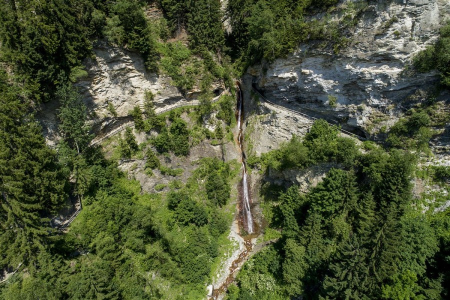
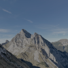
A special highlight along the Gasteiner Höhenweg is the Gadaunerer Gorge. The trail passes through a tunnel carved into the rock, offering impressive views of the waterfall, rock formations, and the steep walls of the gorge. The hike is complemented by panoramicviews of the Gastein Valley and the peaks of the Hohe Tauern.
Variations
Depending on the starting point, the hike can be extended into a longer tour. The Höhenweg can be combined with the Kaiser-Wilhelm-Promenade, which leads into the center of Bad Gastein. Alternatively, there is the option to return from Bad Hofgastein via the Achenpromenade.
Getting here
The two starting points, Bad Hofgastein and Bad Gastein, are well connectedby both car and train.
By Car
From Salzburg or Villach, take the A10 Tauern Autobahn to Bischofshofen, then follow B311 to Lend and continue on B167 into the Gastein Valley. To start in Bad Hofgastein, turn off at the middle village entrance before the Schlossalmbahn. A large, free parking lot is available across from the valley station. If you wish to start in Bad Gastein, simply follow the road into the town center.
By Public Transport
Traveling by train is also straightforward. Take the train to Hofgastein station, and from there, the bus (Line 557) will take you to Tauernplatz – just a few minutes' walk from the Höhenweg. Alternatively, you can get off directly in Bad Gastein, where the trail is easily accessible from the town center.