Hike Water Runner Path - Allgäu Hiking Trilogy in the Allgäu: Position on map

Webcam View from Moutain hut Grünten, 1,506 m

Water Runner Path - Allgäu Hiking Trilogy
Webcam is offline
© Panomax / Grüntenlifte  
Enjoy the panoramic view from mountain hut Grüntenhütte towards 1.738 meter high peak of mountain Grünten. Looking down to the valley, one can see with good weather conditions the village Retttenberg, Kempten, and the lakes “Grüntensee“, “Rottachsee“ and “Großer Alpsee“. Furthermore, one can spot the mountains Nebelhorn (2.224 m), Immenstädter Horn (1.489 m), Gaishorn (2.247 m) and Giggistein (1.497 m).

Webcam broken? Description wrong?

Please, share your knowledge with our staff. Tell us what is wrong with this webcam.
Elevation:  1,506 m

Webcam archive

Advertisement
Travel Deals & Tips
Advertisement
Webcams nearby
  • Town Hall Square of Sonthofen
  • View from the town hall in Sonthofen
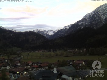
  • View of the church Bad Hindelang
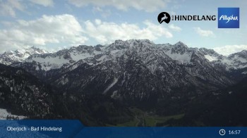
  • Panoramic view of the mountain station Oberjoch
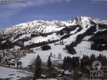
  • View of the kids hotel Oberjoch at the slopes in front
  • Kids hotel Oberjoch: view at the nature reseve "Allgäuer Hochalpen"
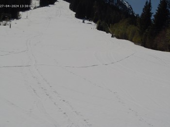
  • Spieserlifte Unterjoch View of the ski run
Advertisement
Login with Google+
  • Share your personal insider tip and create new entries
  • Explore fantastic outdoor destinations when and where you want
  • Find your dream destination or discover the world on the interactive map