Around Me
Search
List
Map
Combined
+
+
Guide
Europe
Germany
Austria
Italy
Switzerland
France
Spain
Greece
Liechtenstein
Czech Republic
Iceland
Great Britain and Northern Ireland
Romania
Slovakia
Ireland
Belgium
Denmark
Norway
Finland
Netherlands
Portugal
Malta
Sweden
Lithuania
Serbia
Slovenia
Hungary
Ukraine
North America
USA
Canada
Costa Rica
Oceania
New Zealand
Australia
Africa
Egypt
South Africa
Asia
Japan
China
United Arab Emirates
Turkey
India
Azerbaijan
Georgia
Iran
Russia
South America
Brazil
Hiking
Europe
Austria
Germany
Italy
Switzerland
Liechtenstein
France
Romania
Belgium
Iceland
Norway
Ireland
Great Britain and Northern Ireland
Denmark
Sweden
Portugal
North America
USA
Canada
Oceania
New Zealand
Australia
Biking
Europe
Austria
Germany
Switzerland
Italy
Spain
Liechtenstein
Romania
Finland
France
Great Britain and Northern Ireland
Lithuania
Iceland
Ireland
North America
Canada
USA
Swimming
Europe
Austria
Germany
Switzerland
Italy
Romania
Iceland
Spain
Slovenia
Hungary
Netherlands
Great Britain and Northern Ireland
Malta
Ireland
North America
Canada
USA
Attractions
Europe
Germany
Austria
Italy
France
Switzerland
Spain
Greece
Czech Republic
Slovakia
Great Britain and Northern Ireland
Iceland
Ireland
Belgium
Netherlands
Denmark
Portugal
Malta
Liechtenstein
Norway
Finland
Romania
Serbia
Sweden
Hungary
Slovenia
Ukraine
North America
USA
Canada
Costa Rica
Oceania
New Zealand
Australia
Africa
Egypt
South Africa
Asia
Japan
United Arab Emirates
China
Georgia
India
Azerbaijan
Turkey
Russia
Iran
South America
Brazil
Magazine
News
Award
Active
Culture
Tips
Specials
On Tour
Inside
Webcams for hikes in Baden-Württemberg
Hikes
Weather for Hikers
Webcams
Black Forest
Swabian Jura
Bodensee
Hikes
Europe
Austria
Germany
Bavaria
Baden-Württemberg
Black Forest
Swabian Jura
Bodensee
North Rhine-Westphalia
Lower Saxony
Saxony
Rhineland-Palatinate
Thuringia
Saarland
Brandenburg
Saxony-Anhalt
Mecklenburg-Western Pomerania
Italy
Switzerland
Liechtenstein
France
Iceland
Denmark
Great Britain and Northern Ireland
All countries in Europe
Romania
Norway
Ireland
Sweden
Belgium
Portugal
North America
USA
Canada
Oceania
New Zealand
Australia
Magazine
News
Award
Active
Culture
Tips
All magazine categories
Specials
On Tour
Inside
Misc.
The Perfect Match
Travel Guide
Map
Sweepstakes
Surveys
Advertisement
Sort by
Sort by
Views
User rating
Name
Distance
Duration
Difficulty
Ascent (m)
Show filters
Difficulty:
I don't care
Easy
Moderate
Advanced
Length:
0
-
100
km
Duration:
0
-
72
h
Filter
Reset
First
Previous
1
2
Next
Last
Long Distance Hiking Trail Seensteig - Day 2
Elevation:
933
m
Have a look at the Heimatpfad in Kniebis.
0
°C
1 minute ago
Baden-Württemberg
Black Forest
Himmelsweg Trails Baiersbronn - Forces of Nature Trail
Elevation:
929
m
Here you can see the night cross-country ski trail of Baiersbronn
0
°C
temporarily unavailable
Baden-Württemberg
Black Forest
Geniesserpfad to Wanderhütte Sattelei
Elevation:
929
m
Here you can see the night cross-country ski trail of Baiersbronn
2
°C
temporarily unavailable
Baden-Württemberg
Black Forest
Himmelsweg Trails Hiking Heaven Baiersbronn - Hoehen Tour
Elevation:
935
m
Your view of the ski lift Kniebis near Freudenstadt.
-2
°C
temporarily unavailable
Baden-Württemberg
Black Forest
Adventure Path 4 - Von Mönchen und Lehensbauern
Elevation:
564
m
Down in the valley you can spot the town of Baiersbronn.
2
°C
7 minutes ago
Baden-Württemberg
Black Forest
Himmelsweg Trails Hiking Heaven Baiersbronn Wood Trail - Holzmacher Tour
Elevation:
564
m
Down in the valley you can spot the town of Baiersbronn.
0
°C
7 minutes ago
Baden-Württemberg
Black Forest
Geniesserpfad to Blockhütte
Elevation:
564
m
Down in the valley you can spot the town of Baiersbronn.
2
°C
7 minutes ago
Baden-Württemberg
Black Forest
Long Distance Hiking Trail Seensteig - Day 5
Elevation:
319
m
Webcam located at Forbach in the Black Forest, Germany.
0
°C
5 hours ago
Baden-Württemberg
Black Forest
Adventure Path 5 - Wild Forest in Transition
Elevation:
929
m
Here you can see the night cross-country ski trail of Baiersbronn
2
°C
temporarily unavailable
Baden-Württemberg
Black Forest
Adventure Path 1 - Rafts, Charcoal Burners, Forest Spiritsköhler
Elevation:
564
m
Down in the valley you can spot the town of Baiersbronn.
2
°C
7 minutes ago
Baden-Württemberg
Black Forest
Geniesserpfad to Panoramastüble
Elevation:
319
m
Webcam located at Forbach in the Black Forest, Germany.
2
°C
5 hours ago
Baden-Württemberg
Black Forest
Himmelsweg Trails Hiking Heaven Baiersbronn Romance Tour - Romantik Tour
Elevation:
319
m
Webcam located at Forbach in the Black Forest, Germany.
0
°C
5 hours ago
Baden-Württemberg
Black Forest
Himmelsweg Trails Hiking Heaven Baiersbronn - The Cirque Lakes and Their Origin
Elevation:
671
m
View on the ski lift Ruhestein (Baiersbronn)
0
°C
9 minutes ago
Baden-Württemberg
Black Forest
Travel Deals & Tips
Advertisement
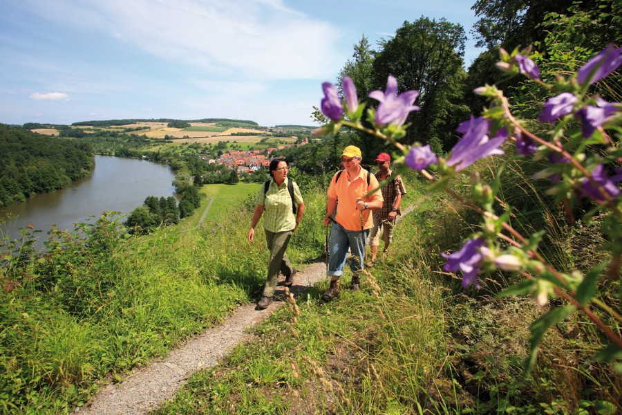
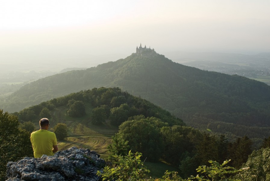
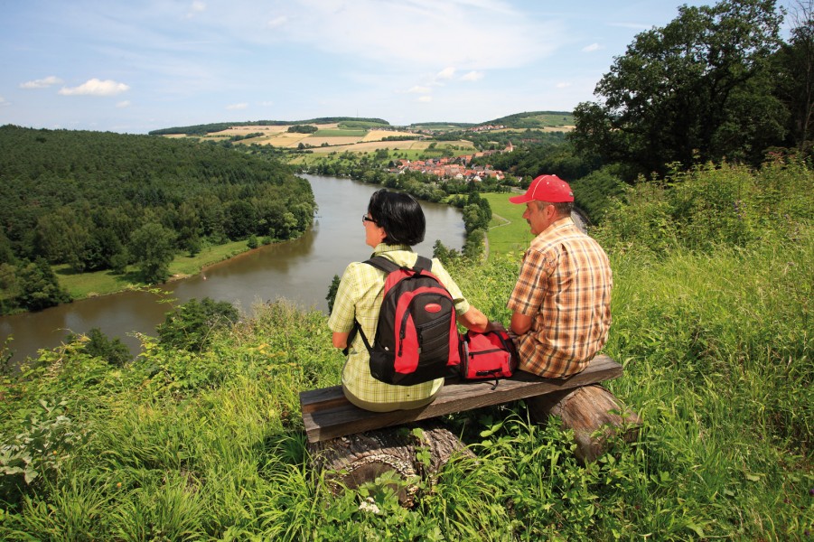
© Deutsche Zentrale für Tourismus e.V. /Fotograf: argus fotoagentur Frischmuth, Peter
© Deutsche Zentrale für Tourismus e.V. /Fotograf: Foto-Design Ernst Wrba
© Deutsche Zentrale für Tourismus e.V. /Fotograf: argus fotoagentur Frischmuth, Peter
© Tourismus-Marketing GmbH Baden-Württemberg
Share
Tweet
Mail
Travel Deals & Tips
Snow
Weather
Video
Webcam
Offer
Upper
cm
30
Lower
cm
0
Open Lifts
4/39
Snow Conditions in Hochzillertal
Wednesday
-7
°C
Thursday
-5
°C
Friday
-2
°C
Saturday
-4
°C
Weather in Hochzillertal
Hochzillertal: Blick zum Sonnjet 2
Hochzillertal: Pure winter fun!
At up to 2,400 meters, perfectly groomed slopes and culinary delights await you in the Hochzillertal-Kaltenbach ski region.
Discover now
Advertisement
Advertisement
Advertisement
Advertisement
Travel Deals & Tips
Advertisement
Login
E-Mail
Password
Login
Forgot your password?
You don't have an account yet? Click here to get one.
Login with Facebook
Login with Google+
Share your personal insider tip and create new entries
Explore fantastic outdoor destinations when and where you want
Find your dream destination or discover the world on the interactive map