Contents
Description
Harz National Park is one of the largest forest national parks, and the first one to cross federal state borders in Germany. Of its 25,000 hectares, which makes for around 10 percent of the Harz Mountains total surface, 97 are covered in forest. It is home to 7,200 animal and plant species.
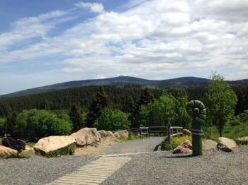
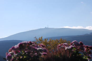
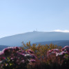
At 1,141m/3,743ft above sea level, Brocken mountain sits enthroned at the centre of the national park as its highest point. The mountainscape is characterised by dense forests, steep mountains, rocks, cliffs, moors, and streams. You can explore this unique natural environment on 600km/373mi of diverse hiking paths.
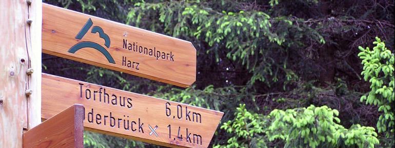
There are several national park centres at Harz National Park, where you learn more about the park in various exhibitions, and get information on how to best hike or bike through the park. Facilities are located on Brocken, at TorfHaus and HohneHof, in St Andreasberg, Bad Harzburg, Schierke, Ilsetal, and Scharfenstein.
Interesting facts
- Harz National Park is among the 5 best rated Tourist Attractions in Lower Saxony.
How to get there
Visitor Centre TorfHaus
You can get to TorfHaus via federal road B4. A large car park is located right next to the centre.
Natur-Erlebniszentrum HohneHof
Follow B6 to the exit towards Wernigerode-Nord, then drive via Wernigerode to the large car park.
Nationalparkhaus St Andreasberg
You get to Sankt Andreasberg on B4 via Torfhaus. Turn right onto B242. After around 3km/1.9mi, turn left and continue to Sankt Andreasberg. The national park house is located on your left-hand side.
Nationalparkhaus Schierke
The town of Schierke is located amindst Harz National Park. Coming from the south, follow B4 to B242. Turn right, and after 2km/1.2mi continue left towards Elend. Take the second exit at the roundabout, and continue to Schierke.

