
Route description

The approximately 4.7-kilometre-long BergWaldWeg is one of the most scenic hiking trails on the Penken and connects the Penkenbahn mountain station with the middle station of the Finkenberger Almbahnen.
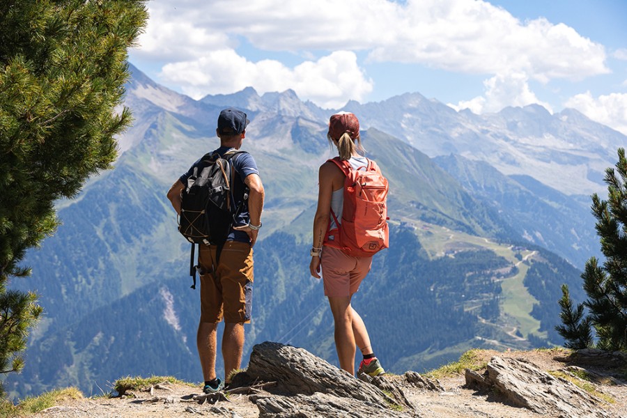
The entrance is located directly at the mountain station. From here, the trail leads gently downhill along the sunny mountain slopes - over wide gravel paths and through sparse forests. Impressive panoramas of the Stilluptal valley and the Ahorn opposite open up time and again. If you take the time to pause, you will be rewarded with numerous viewpoints and inviting benches along the way. You should allow around 1.5 hours for the route.
Interesting facts
- You're traveling a distance of 4 km on this easy trail. The hike is therefore not too long. Average length of all hikes in Tyrol is 15 km.
- You're facing an uphill climb of 380 vertical meters on this hike. The highest point of the track is 1,791 m above sea level.
- Make sure to bring sturdy footwear on this track. Hiking boots are highly recommended. If you get hungry along the way, there are places to rest and get food. Nevertheless it’s recommended to also have enough water and food in your backpack when hiking or biking.
Variations
If you want to enjoy the views on the way back, take the Finkenberger Almbahn to the Penkenjoch and hike from there via the PanoramaRundWeg to the Penken Kombibahn. This will take you back to the Penkenbahn. Alternatively, you can take the Finkenberger Almbahn all the way down to the valley and take the public bus back to Mayrhofen.
Getting here
To reach the BergWaldWeg trail, first take the Penkenbahn from Mayrhofen - it takes you comfortably to the mountain station and thus directly to the starting point of the hike in the direction of Finkenberg.
The valley station of the Penkenbahn is located on the southern outskirts of Mayrhofen in the Zillertal. If you are traveling by car, follow the Inntal freeway (A12) to the Zillertal exit and then continue on the B169 to Mayrhofen. The valley station is well signposted in the village and parking spaces are available directly on site.
Getting to Mayrhofen by public transport is stress-free: from Jenbach, the Zillertalbahn takes you directly to Mayrhofen train station. From there, it's just a few minutes' walk to the valley station - alternatively, you can use the free summer shuttle of the Mayrhofner Bergbahnen, which runs regularly.

