Hike Circular Hiking Trail from Angertal to Gadaunerer Hochalmen in the Gasteinertal: Position on map

Webcams around the Hike Circular Hiking Trail from Angertal to Gadaunerer Hochalmen (Gasteinertal)

Circular Hiking Trail from Angertal to...
Waterfall in Bad Gastein
Elevation: 1,028 m
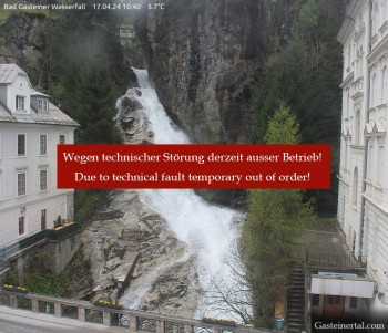
View of the waterfall in Bad Gastein, a village in the mountains near Salzburg.
55 minutes ago
Stubnerkogel Top Station South
Elevation: 2,212 m
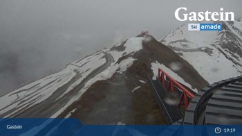
This webcam overlooks the moutain-scape of Bad Gastein from the south side of Stubnerkogel's top station.
12 minutes ago
Bad Hofgastein
Elevation: 845 m
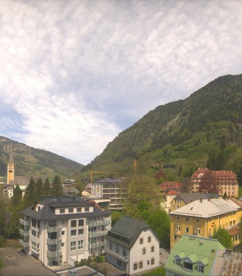
Your view of Bad Hofgastein in the Gastein Valley. You can see the spa park and in the background the mountains Schlossalm, Stubnerkogel and...
1 hour ago
Hotel Schillerhof in Bad Gastein
Elevation: 1,036 m
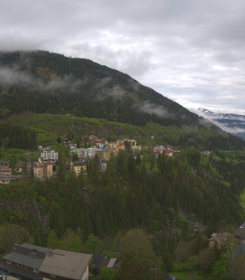
Enjoy the view from the Hotel Schillerhof in Bad Gastein in the Gastein Valley.
1 hour ago
Alpine Restaurant Valeriehaus
Elevation: 1,586 m
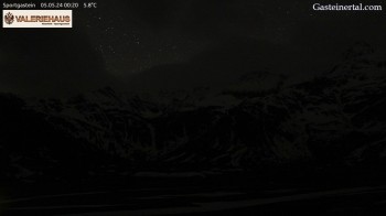
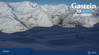
Enjoy the view from the restaurant Valeriehaus in Sportgastein.
59 minutes ago
Kolm-Saigurn (Rauris valley)
Elevation: 1,626 m
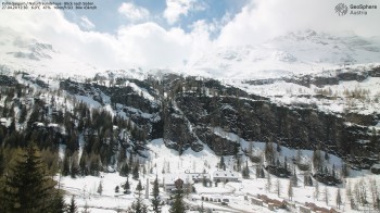
Located at Naturfreundehaus Kolm-Saigrun you can see direction south. In the foreground the settlement of Sonnblick base can be spotted.
54 minutes ago
View of Schareck
Elevation: 3,059 m
Located at Schareck you can see in a westerly direction the Hoher Sonnblick and the Großglockner, the highest mountain of Austria
54 minutes ago
Mountain Restaurant Weitmoseralm
Elevation: 1,935 m
This is the view from Weitmoser Schlossalm over the Alpine landscape around Bad Hofgastein.
13 minutes ago
Gasteinertal - Ski Centre Angertal
Elevation: 1,196 m
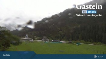
The webcam looks upon ski centre Angertal in the Gastein valley.
13 minutes ago
View from Schlossalm Mountain
Elevation: 2,033 m
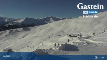
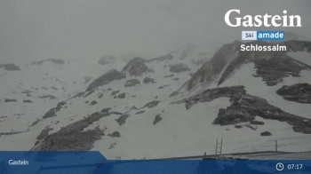
The webcam looks over the mountain-scape around Schlossalm and Bad Hofgastein.
6 minutes ago
Bad Gastein - Snowpark Stubnerkogel
Elevation: 1,792 m
View of Snowpark Stubnerkogel in Bad Gastein.
6 minutes ago
Haitzingalm View - Bad Hofgastein
Elevation: 1,292 m
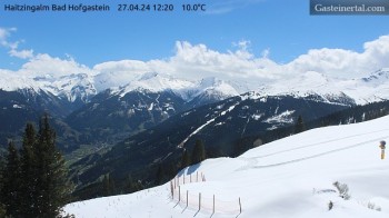
View from Haitzingalm, a mountain hut near Bad Hofgastein
53 minutes ago
Bad Gastein Stubnerkogel
Elevation: 2,163 m
'Bad Gastein' at 'Stubnerkogel'
temporarily unavailable
Bad Gastein - Kreuzkogel
Elevation: 2,650 m
View from Kreuzkogel mountain in Sportgastein (Austria).
7 minutes ago

Webcam is Missing

A webcam is missing? Do you know the source of another one?
Advertisement

All Webcams on the map

Webcam Information

  • There are 14 webcams in close proximity of the Hike Circular Hiking Trail from Angertal to Gadaunerer Hochalmen. The webcams fall into three groups, namely 6 live streaming webcams, 2 panoramic webcams und 6 further webcams.
  • The highest webcam (View of Schareck) is located at an altitude of 3059 metres, while the lowest one (Bad Hofgastein) is situated at an altitude of 845 metres.
  • Most visited/viewed webcam: Waterfall in Bad Gastein