Around Me
Search
List
Map
Combined
+
+
Guide
Europe
Germany
Austria
Italy
Switzerland
France
Spain
Greece
Great Britain and Northern Ireland
Czech Republic
Liechtenstein
Iceland
Romania
Belgium
Hungary
Portugal
Slovakia
Ireland
Netherlands
Denmark
Norway
Finland
Malta
Sweden
Slovenia
Lithuania
Serbia
Ukraine
Poland
North America
USA
Canada
Costa Rica
Oceania
New Zealand
Australia
Africa
Egypt
South Africa
Asia
Japan
China
United Arab Emirates
Turkey
India
Azerbaijan
Georgia
Iran
Russia
South America
Brazil
Hiking
Europe
Austria
Germany
Italy
Switzerland
Liechtenstein
France
Iceland
Romania
Belgium
Ireland
Norway
Great Britain and Northern Ireland
Denmark
Sweden
Spain
Portugal
North America
USA
Canada
Oceania
New Zealand
Australia
Biking
Europe
Austria
Germany
Switzerland
Italy
Romania
Spain
Liechtenstein
Great Britain and Northern Ireland
Lithuania
Finland
France
Iceland
Ireland
North America
Canada
USA
Swimming
Europe
Austria
Germany
Switzerland
Italy
Romania
Iceland
Hungary
Spain
Belgium
Slovenia
Malta
Ireland
Netherlands
Great Britain and Northern Ireland
North America
Canada
USA
Attractions
Europe
Germany
Austria
Italy
France
Switzerland
Spain
Greece
Czech Republic
Portugal
Slovakia
Great Britain and Northern Ireland
Hungary
Belgium
Netherlands
Iceland
Ireland
Denmark
Finland
Malta
Liechtenstein
Norway
Romania
Sweden
Serbia
Slovenia
Ukraine
Poland
North America
USA
Canada
Costa Rica
Oceania
New Zealand
Australia
Africa
Egypt
South Africa
Asia
Japan
United Arab Emirates
China
Iran
Georgia
India
Azerbaijan
Turkey
Russia
South America
Brazil
Magazine
News
Award
Active
Culture
Tips
Specials
On Tour
Inside
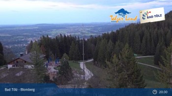
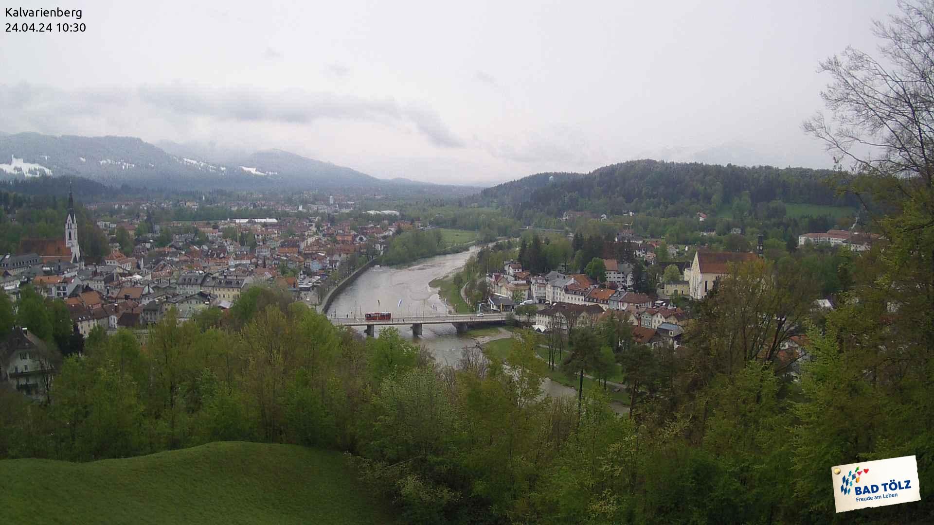
Webcam Bad Tölz - Kalvarienberg, 704 m
Bike trail
Biking Weather
Webcams
Wall
Photos
Isar Cycling Path: Lenggries – Bad Tölz
Bike trail
Photos
Biking Weather
Webcams
Bike tracks
Europe
Austria
Germany
Bavaria
Tölzer Land
Chiemsee Alpenland
Zugspitz-Region
Würzburg and romantic Franconia - the Franconian Lakes
Bavarian Forest
Baden-Württemberg
Lower Saxony
Rhineland-Palatinate
Saxony
Thuringia
Brandenburg
Switzerland
Italy
Liechtenstein
Romania
Spain
Finland
Great Britain and Northern Ireland
All countries in Europe
France
Iceland
Lithuania
Ireland
North America
Canada
USA
Magazine
News
Award
Active
Culture
Tips
All magazine categories
Specials
On Tour
Inside
Misc.
The Perfect Match
Travel Guide
Map
Sweepstakes
Surveys
10:31
From top of the Kalvarienberg you look down to the city of Bad Tölz and to the river Isar.
Webcam broken? Description wrong?
Please, share your knowledge with our staff. Tell us what is wrong with this webcam.
E-Mail
Message
Send
Elevation:
704
m
Today's webcam images (Local Time: 11:24)
23:00
01:00
03:00
05:00
06:00
07:00
Latest
Webcam archive
Advertisement
Travel Deals & Tips
Advertisement
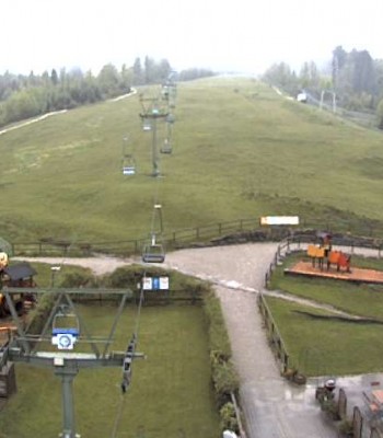
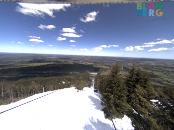
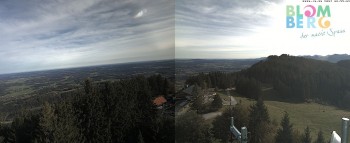
Webcams nearby
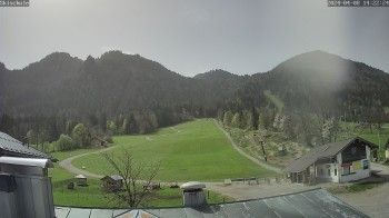
Blomberg (Bavaria)
Blomberglift (Bavaria)
Blomberghaus (Bavaria)
Panoramic View Blomberg
Streidlhang slope, Brauneck
Nearby
Climbing Forest Blomberg
1.3
km
Toboggan run Blomberg Blitz near Bad Tölz
2.1
km
Lenggries – Längentalalm / Kirchsteinhütte
7.9
km
Show all
Lenggries via Wegscheid to Leger
8.1
km
Isar Cycling Path: Lenggries – Bad Tölz
8.1
km
Lenggries – Leger
8.2
km
Lenggries – Brauneck; Little High Route
8.2
km
Lenggries via Gaißbach to Bad Tölz and back via Wackersberg
8.3
km
Lenggries – Jachenau – Walchensee – Sylvensteinsee
8.3
km
From Lenggries to Brauneck via Kotalm - Circular Hiking Tour
9.5
km
Advertisement
Login

 23:00
23:00  01:00
01:00 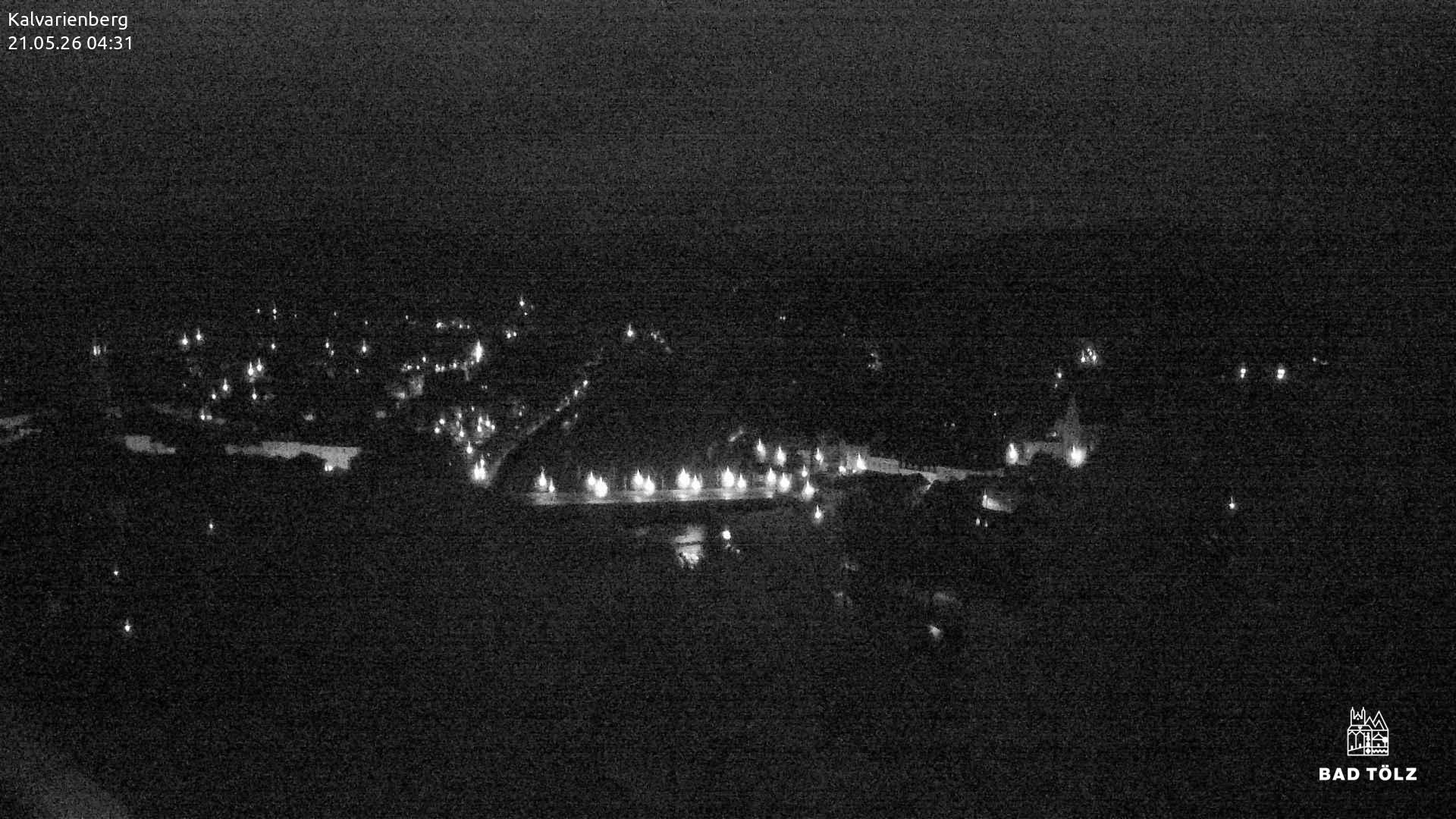 03:00
03:00 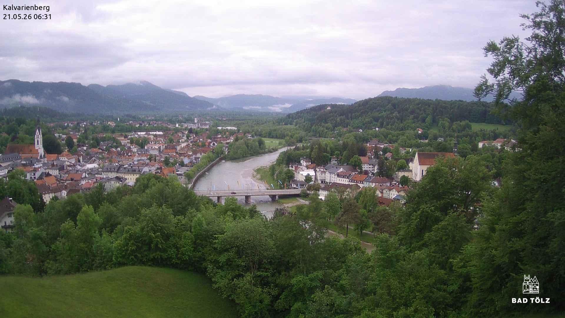 05:00
05:00 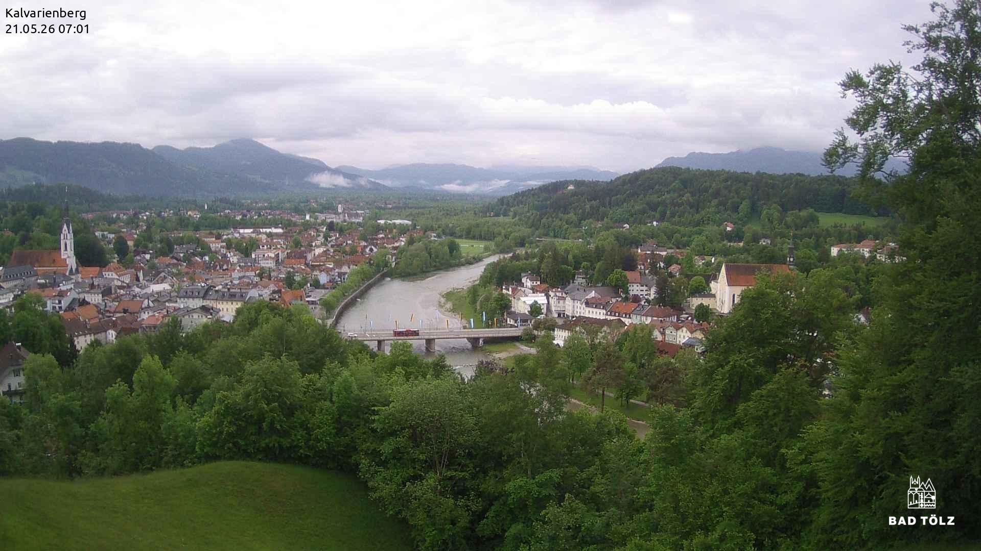 06:00
06:00 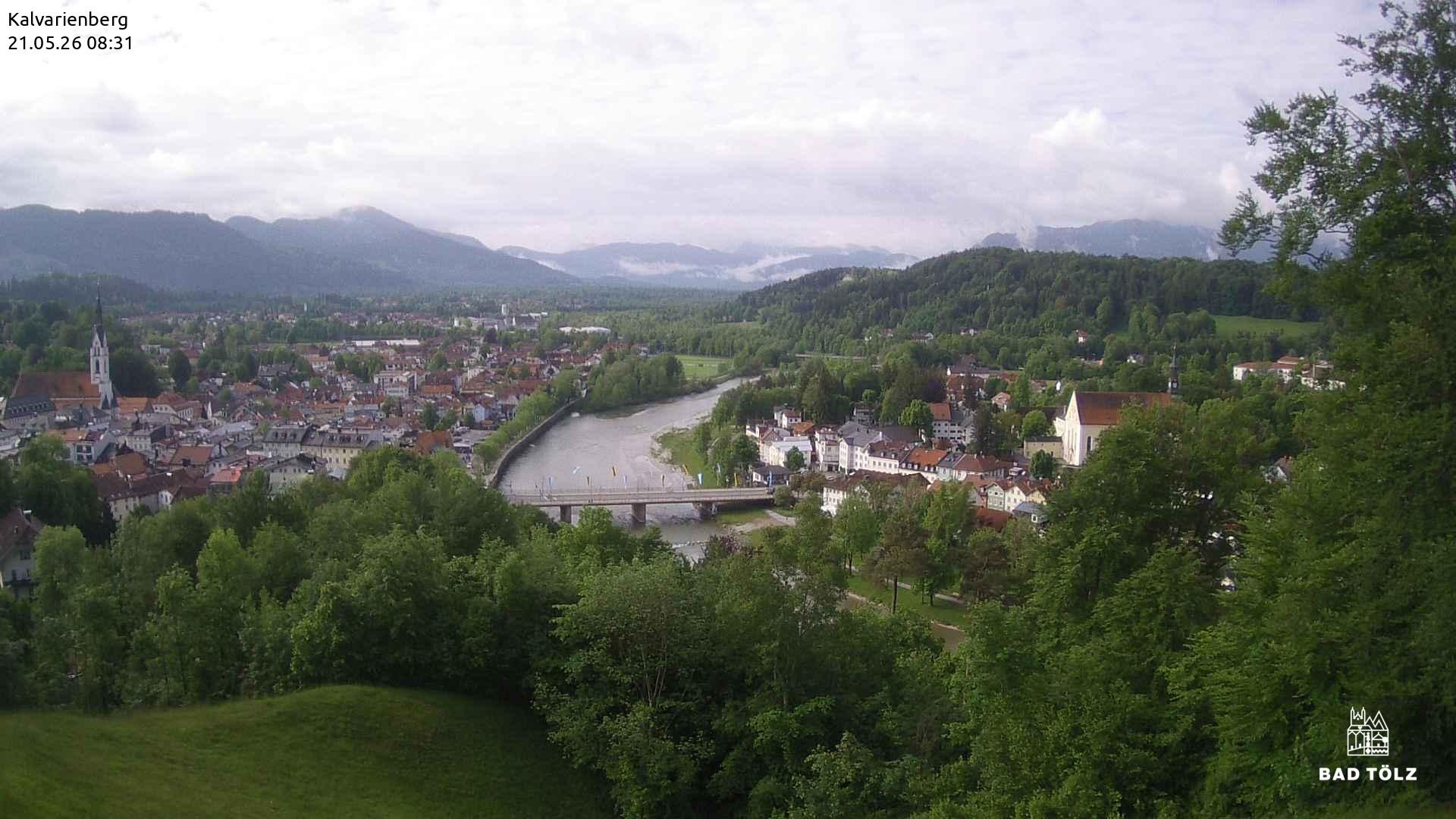 07:00
07:00 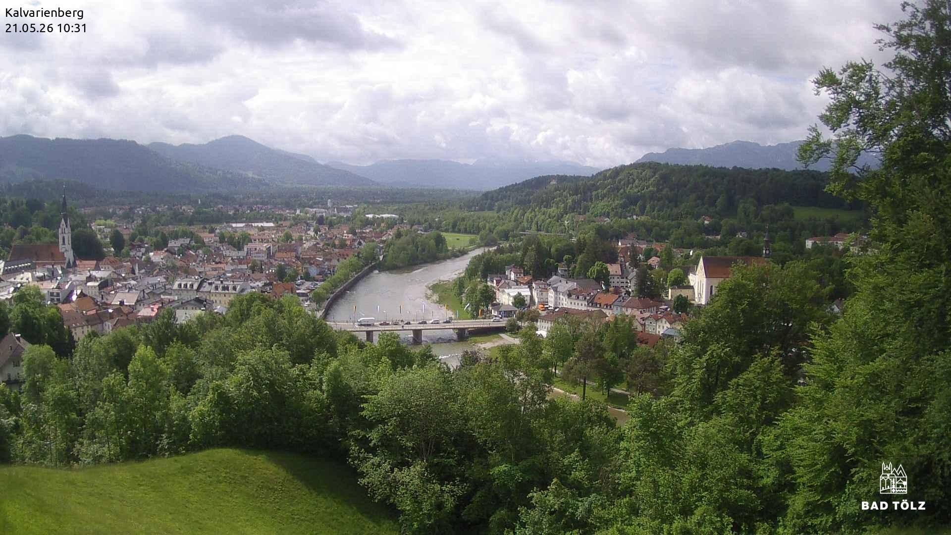 Latest