From Hocheggerlift's top station in wolfsberg, this webcam looks upon the mountains of Lavant valley.
3 hours ago
This webcam at Bärenwaldlift's top station near the town of Bad St. Leonhard looks upon the surrounding moutnain-scape of Carinthia.
3 hours ago
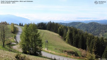
Enjoy the view from Schulterkogelhütte near Prebl to the southeast where you can see the Lavant Valley.
42 minutes ago
Panorama view over the skiarea Eberstein Saualpe
47 minutes ago
Outlook on Diex, Karawanken mountains in the background
2 hours ago
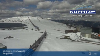
You can see the view from the mountain station Klippitztoerl over the chairlift and the slopes.
3 hours ago
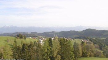
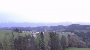
Spot the village Diex in the region of Völkermarkt in Carinthia, Austria. In the background you can see the mountain range Karawanken.
2 hours ago