Hike From Planneralm via Lake Kothuettensee to Karlspitze in Schladming-Dachstein: Position on map

Webcams around the Hike From Planneralm via Lake Kothuettensee to Karlspitze (Schladming-Dachstein)

From Planneralm via Lake Kothuettensee to...
Advertisement
Donnersbachwald - Riesneralm
Elevation: 1,006 m
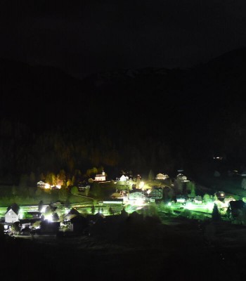
The webcam looks over Donnerbachwald to the adventure mountain Riesneralm.
14 minutes ago
Hochsitz (1.820 m)
Elevation: 1,777 m
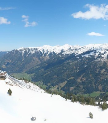
Have a look at the mountain hut Hochsitz at Riesneralm.
16 minutes ago
mountain station Plannereckbahn, alp Planneralm
Elevation: 1,597 m
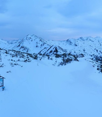
Here you can see the outlook from mountain station Plannereckbahn at alp Planneralm
24 minutes ago
alp Planneralm, Styria
Elevation: 1,597 m
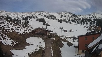
Here you can see alp Planneralm in Styria
19 minutes ago

Webcam is Missing

A webcam is missing? Do you know the source of another one?

All Webcams on the map

Webcam Information

  • Around the Hike From Planneralm via Lake Kothuettensee to Karlspitze, there are 4 webcams.
  • The highest webcam (Hochsitz (1.820 m)) is situated 1777 metres above sea level, wheras the lowest webcam (Donnersbachwald - Riesneralm) is situated 1006 metres above sea level.
  • According to its visits, the webcam Donnersbachwald - Riesneralm is the most popular one in the vicinity.
Travel Deals & Tips
Advertisement
Advertisement
Advertisement
Advertisement
Login with Google+
  • Share your personal insider tip and create new entries
  • Explore fantastic outdoor destinations when and where you want
  • Find your dream destination or discover the world on the interactive map