Contents
Description
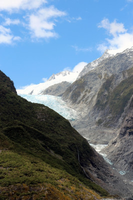
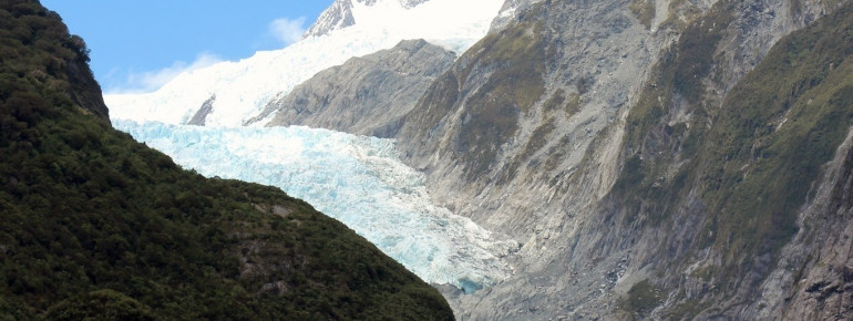
Franz Josef Glacier is located in the Westland National Park on South Island of New Zealand and is about 10 km (6 mi) long. It's one of the few glaciers in the world that reaches almost sea level. Franz Josef comes close to 984 ft (300 m) above sea level and is therefore not easily accessible. In close proximity to the Franz Josef Glacier, you find the Fox Glacier, which is likewise a breathtaking part of the glacial world.
Hiking to the bottom of the glacier
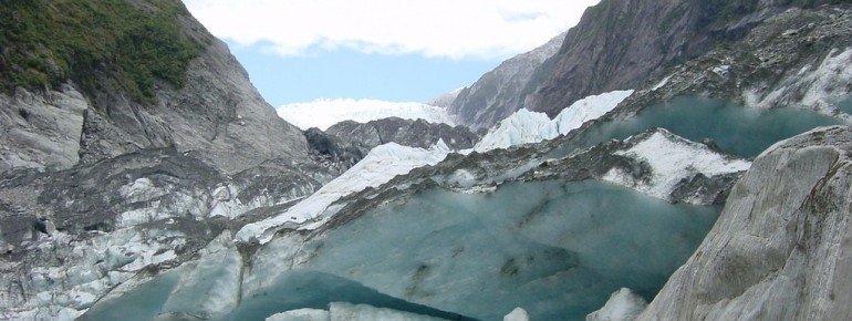
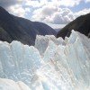
You may proceed alongside some riverbeds to the bottom of the glacier following easy paths. Once there, you get to enjoy the impressive glacier in all its dimensions. The river valleys with their steep mountain sides are evidence of the enormous natural forces that have quite an impact on the glacier, making it move back and forth. From the observation points at the bottom of the glacier, you come to enjoy the view on both the blue ice and the glacier tongue from a distance of only a few hundred metres. You won't get closer to the glacier on foot more than this, unfortunately.
To the glacier by helicopter
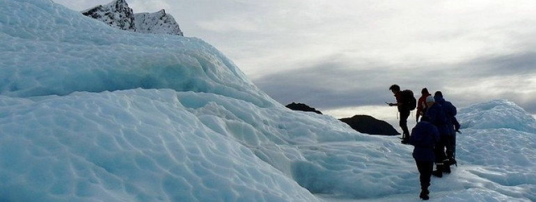
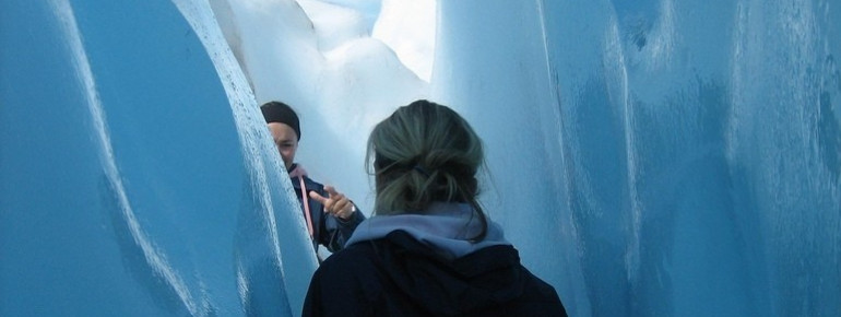
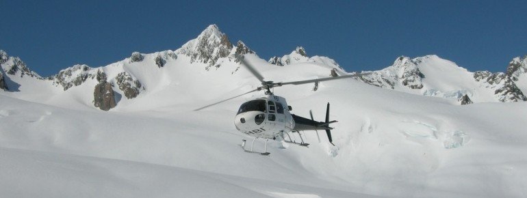
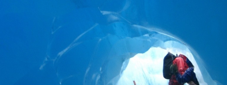
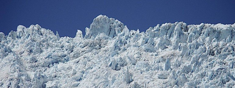
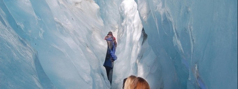
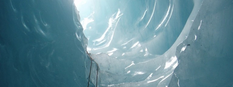
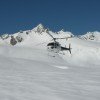
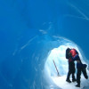
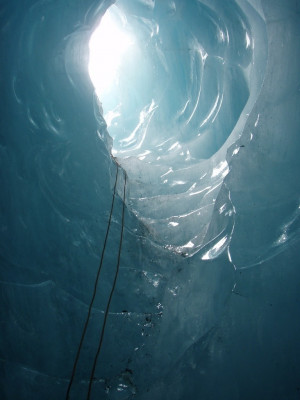
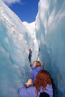
If you want to enter the ice straight away, you may participate in one of the many excursions and tours offered on-site. Helicopters and small planes take you to the starting points on the glacier. From this point guides will escort you to the spectacular ice formations, to the blue ice caves and impressive ice gorges. Being on the ice masses, is a spectacular and rare experience and on top you get to enjoy a fantastic view on the entire area. You'll be equipped with gear including a weather-proof jacket, solid footwear, climbing irons and thick socks. After your excursion on ice, you may go on and visit the Glacier Hot Pools to warm up your cold feet.
Historical Information
The creation and deviation of tectonic plates
Its special location has actually led to and affected the creation of Franz Josef Glacier. It is because two continental plates meet at New Zealand's west coast, which have therefore formed a colossal mountain massif along the coast: Mount Cook and its surrounding mountains.
Approximately 150,000 years ago, the glacier enlarged to such an extent that it easily covered up the mountains. The valley glacier, on the other hand, is affected by the process of constant melting and ever growing. It's noteworthy that the glacial melting is stronger than the process of it getting larger. This is the reason why Franz Josef Glacier keeps losing substance in the long-term. It is especially the surface that keeps losing masses of ice through the melting process. The ice that melts from the surface forms cold rivers which then again lead together to the Tasmansee lake.
A glacier with a high stream velocity
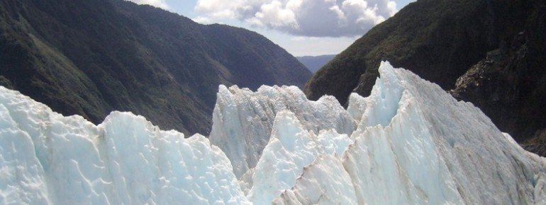
Franz Josef Glacier has the remarkable feature that it moves 10 times faster than most other valley glaciers. Per day it covers a distance of half a metre. A reason for its high stream velocity are the waterfalls which continue flowing under the glacier once the water reaches the ground. Caused by shifts of the bedrock, rises are visible as much as deep rock crevices. The icy landscape couldn't look more dramatic and is actually quite dangerous.
The etymology
In Maori, Franz Josef Glacier is called Kā Roimata o Hine Hukatere. The glacier's current name is derived from Austrian Emperor Franz Joseph I and was introduced by Julius von Haast.
Interesting facts
- Franz Josef Glacier on South Island of New Zealand is among the 10 best rated Tourist Attractions in New Zealand.
How to get there
Franz Josef Gletscher is located in the South Alps of New Zealand in the Aoraki/ Mount Cook National Park.
By car
You get to the glacier best by taking the SH6 which directly leads through the glacier village. Travelling from the southern direction, it's the Fox Glacier Highway and from northern direction it's the Franz Josef Highway. The SH6 leads from the northern tip of South Island to its southern tip. From Wanaka it's about 290 km (180 mi), from Greymouth 180 km (112 mi), and from Nelson about 460 km (286 mi) to the glacier.
If you wish to drive to the glacier from Christchurch, you need to take the SH73 in the northwestern direction up to Kumara Junction and change there to the SH6 in the southern direction. The distance to the glacier is about 380 km (236 mi).
By public transport
By bus
If you wish to take the bus, you may use InterCity Coachlines to get there, by departing from Christchurch, Greymouth or Wanaka. The bus service, in addition, calls at further cities in New Zealand (also smaller ones), if you want to get on the bus even in remote places.
By plane
On South Island you find many airports: Blenheim, Nelson, Christchurch, Dunedin, Queenstown and Invercargill. Once you arrive at one of the airports, you may continue your journey further by coach.
By train
You also get to Greymouth by train, by taking the Midland Line from Rolleston, for example.

