Which country has the densest network of hiking trails in Europe? If you're guessing the Alpine classics Switzerland or Austria, you're way off the mark, because it's actually the small Principality of Liechtenstein, nestled between the two countries. The 160 square kilometer country is crisscrossed by a record-breaking 400 km of hiking trails. In addition, there are numerous idyllic bike paths through vineyards, villages, nature reserves and along the Rhine, where pleasure cyclists will get their money's worth.
On foot through the principality
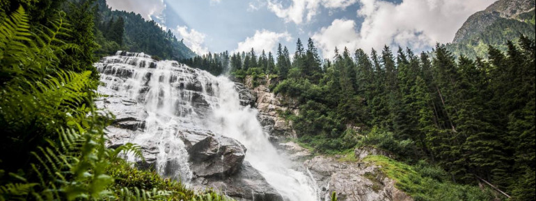
As a brisk hiker, you have to be good on your feet if you want to explore all of Liechtenstein's trails and footbridges in two weeks. The mountains, which are up to 2,600 meters high, offer alpine pastures, mountain huts, wonderful hiking trails and great views. One of the most panoramic circular hiking trails is the Princess Gina Trail, which takes you to the Pfälzerhütte at an altitude of 2,000 meters. The high-altitude classic via the Fürstensteig Trail and the Drei Schwestern requires surefootedness and mountain experience.
A path through a whole country
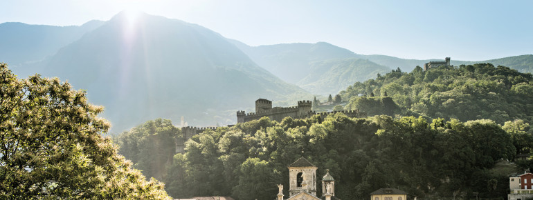
The best way to get to know the Principality is on the 75-kilometer Liechtenstein Trail. It leads through all eleven municipalities of the country, past idyllic vineyards, old village centers, numerous sights and nature reserves. It also offers magnificent views.
While the trail takes you from one place to the next, it also tells you the history of the principality with the help of the LIstory app. The app shows you the course of the hike via several experience stations. The historical sites are presented to you digitally via augmented reality content. Thanks to the good signposting, you can of course also enjoy the sights and natural beauty of the trail without the app.
You can start the Liechtenstein Trail in any municipality. Depending on your personal sport level, you can explore the Liechtenstein Trail within two, three or more days. You can book a transport service for your luggage, so that it is conveniently transported from hotel to hotel.
>> All information about the Liechtenstein Trail
Liechtenstein's Route 66
When you hear the term Route 66, you probably don't think of mountains at first. But it really does exist, the officially signposted Route 66, which leads hikers in three daily stages right across the Principality of Liechtenstein. Strictly speaking, it is the 48-kilometer Liechtenstein Panorama Trail, which is signposted with the number 66. The alpine route takes you from Malbun in the south of the country to Ruggell in the north, and thus practically through the entire Principality. Wild, almost untouched and with wonderful views - a path like something out of a picture book.
Pleasure cycling in intact nature
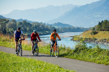
Cyclists experience pure variety on Liechtenstein's idyllic bike trails. Marked trails lead through the valley along the Rhine, through quiet forests, reedlands and around the Eschnerberg. The offer ranges from easy routes for pleasure cyclists to challenging routes for trained tour riders. The Principality can also be wonderfully explored by e-bike on the Liechtenstein Trail E-Bike Route. All bike paths are well signposted and beautifully embedded in the impressive landscape. For mountain bikers, the Principality is accessible via ten well-marked routes.
>> Discover Liechtenstein by bike
--------------------------------------------
Special publication in cooperation with Liechtenstein Marketing


